As El Niño fades, La Niña conditions look likely later this year
By the Climate Centre
New forecasts collated by the WMO show an equal probability of either neutral conditions or a transition to La Niña in June–August 2024, rising to a 60 per cent chance of La Niña conditions during July–September, the UN’s voice on weather and climate said yesterday.
The chance of La Niña – which in many locations, especially in the tropics, produces the opposite climate impacts to El Niño – rises to 70 per cent by the end of November.
The US Climate Prediction Center Monday gave as 69 per cent the chances of a La Niña by the end of September, with ENSO-neutral conditions likely over the next few weeks; Australia’s Bureau of Meteorology said last month it was moving to “La Niña watch” status.
Climate Centre science lead Liz Stephens said today: “While forecasts at this stage are not yet certain, an increasing likelihood of La Niña conditions will be welcome news for drought-affected countries in Southern Africa and in the northern Amazon, while they will hopefully bring an end to the flooding in southern Brazil and East Africa.”
WMO Deputy Secretary-General Ko Barrett said Tuesday: “La Niña conditions generally follow strong El Niño events, and this is in line with recent model predictions, although high uncertainty remains regarding its strength or duration.”
The latest global seasonal climate update includes predictions for rainfall consistent with early stage La Niñas, including above-normal rainfall in northern South America, Central America and the Caribbean, the northern Greater Horn of Africa and the Sahel, and parts of south-west Asia.
‘Important tool’
“The end of El Niño does not mean a pause in long-term climate change as our planet will continue to warm due to heat-trapping greenhouse gases, Barrett added.
“Exceptionally high sea surface temperatures will continue to play an important role during next months.”
He continued: “Seasonal forecasts for El Niño and La Niña and the anticipated impacts on the climate patterns globally are an important tool to inform early warnings and early action.”
The 2020–23 La Niña, a rare three-year phenomenon, “upended current understanding of [ENSO] dynamics [with] widespread impacts on the ocean and climate across the globe,” NOAA researchers have said.
The period saw back-to-back years of extreme rainfall and flooding in Australia, prolonged droughts leading to food security issues in Africa, and exceptional drought in the south-west US.
“La Niñas are also often linked to greater Atlantic hurricane activity, which is exactly what we saw with record-breaking and above-average hurricane seasons in 2020 and 2021,” they added.
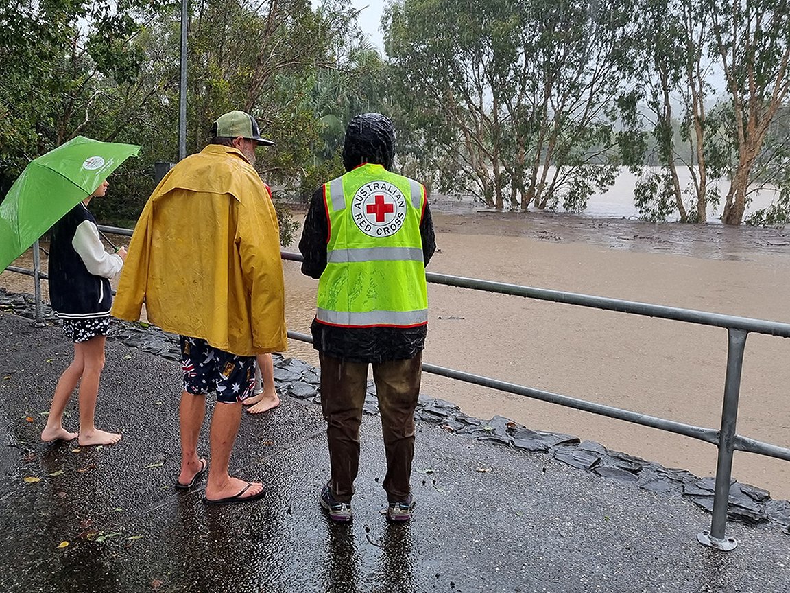
The swollen Caboolture river in south-east Queensland flooded roads, homes and businesses in early 2022. In early 2022, the BOM said La Niña had led to increased rain in eastern and northern Australia. Australia’s Bureau of Meteorology said last month it was moving to “La Niña watch” status, although stressing this was not a guarantee one would develop. (Library photo: Susan Cullinan/Australian Red Cross)